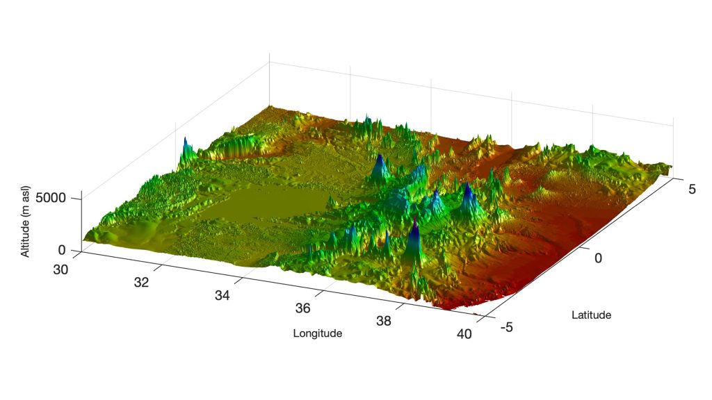
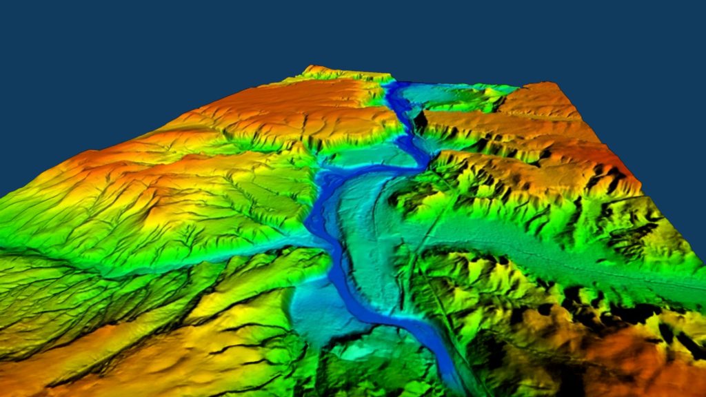
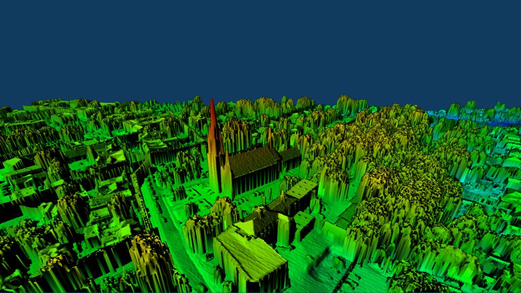
TERRAIN AND ELEVATION MODELS

Generate precision, 3D models of any terrain to optimise visualisation, design, and planning for a range of operations.

WHAT ARE TERRAIN AND ELEVATION MODELS?

Terrain and elevation models are digital representations of surface topography. There are three types of these models:

Digital Elevation Model

A DEM is a three-dimensional representation of all features of a terrain, along with gridded raster data, which is a cell-grid representation of information contained in the DEM, such as temperature, elevation, or spectral value.

Digital Terrain Model

A DTM is a DEM that represents just “bare earth” topography, with features such as buildings and trees removed.

Digital Surface Model

A DSM is a model that represents all features, natural and man-made, of a topography. It visualises the highest point of every surface, such as the tops of buildings and trees.

HOW DRONES CREATE TERRAIN AND ELEVATION MODELS

Drones utilise two methods of data capture to create high-density, 3D point clouds that can be transformed into terrain and elevation models:

LiDAR

Light Detection and Ranging (LiDAR) uses pulsed laser light to measure how long it takes for light to return in order to determine distances and create extremely accurate 3D models of terrain and objects.

Photogrammetry

Photogrammetry uses overlapping photographs taken from different angles, which are analysed by computer software to reconstruct the images as a single, orthorectified representation of terrain and objects. This image is called an orthomosaic map, which can contain geotagged markers.

DIVERSE APPLICATIONS

Terrain and elevation models can provide critical insights in a range of industries, including:

EXPERT DATA MANAGEMENT

Drone as a Service provides expert, end-to-end data management services to help clients quickly process and analyse our drone intelligence and turn it into exceptional terrain and elevation models. You receive both technical data for design software and visual representations for design, planning, and presentations.

OUR DRONE SERVICES

Our next-generation solutions simplify complex projects, increase efficiency, improve safety, and deliver best-in-class data.

REQUEST A QUOTE

Please tell us about your project and we’ll get right back to you.

Scroll to Top

THANK YOU

Thank you for your message.

One of our team members will contact you shortly.