Drone intelligence provides leading-edge data that enables renewable energy projects to optimise operations and maximise outputs. With Drone as a Service, clients can survey sites for infrastructure installation, monitor construction, and analyse the condition and performance of assets.
PRE-CONSTRUCTION AND CONSTRUCTION PHASES
With drone technology, renewable energy projects can access precise data provided by LiDAR, photogrammetry, and multispectral sensors to survey potential installation sites and create terrain and elevation maps, 3D models, and geotagged, orthomosaic images. These aerial tools are also ideal for monitoring all phases of installation and helping clients increase energy outputs by up to 18% through early detection of performance issues.
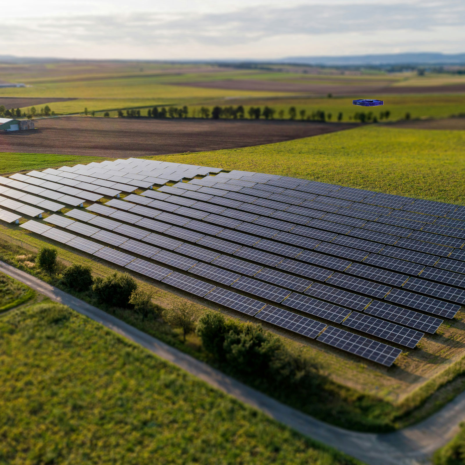
SOLAR PANEL INSPECTIONS
Utilising onboard AI and high-resolution RGB and thermal cameras, our drones can quickly assess solar panels for issues including hot spots, delamination, cracks, shading, and physical damage. Drones can analyse solar farms in considerably less time than ground-based methods and are ideal for quickly assessing panel efficiency following repairs. Our drones also have the payload capacity to support a water supply source to clean dirty solar panels.
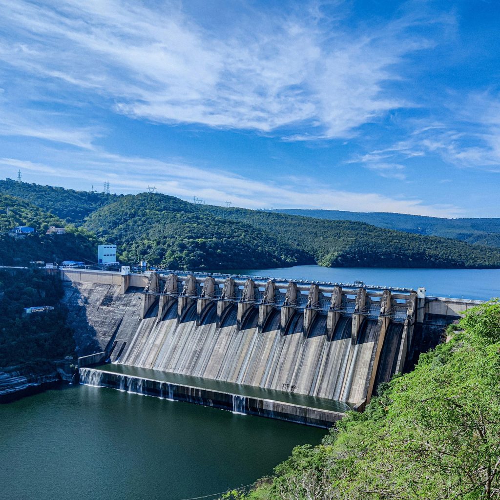
WIND TURBINE AND HYDROELECTRIC SITE INSPECTIONS
Aerial intelligence is an ideal way to ensure worker safety and minimise liability for wind turbine and hydroelectric inspections. Drones can easily access the heights required to provide high-resolution images and data for analysing wind turbine blade conditions, tower integrity, and other components.
At hydroelectric sites, drones can be used to inspect even the most hard-to-reach areas of dam infrastructure and assess environmental conditions of the water source and surroundings.
THE DRONE AS A SERVICE ADVANTAGE
With Drone as a Service, you avoid the capital costs of drone ownership, and the inconvenience of obtaining regulatory approvals, while reducing maintenance downtime costs by up to 45%. All missions are flown by IAA-certified pilots, using registered drones. Clients typically receive data-collection results within 48-72 hours, and our end-to-end data management services can help you process, analyse, and store the aerial intelligence.