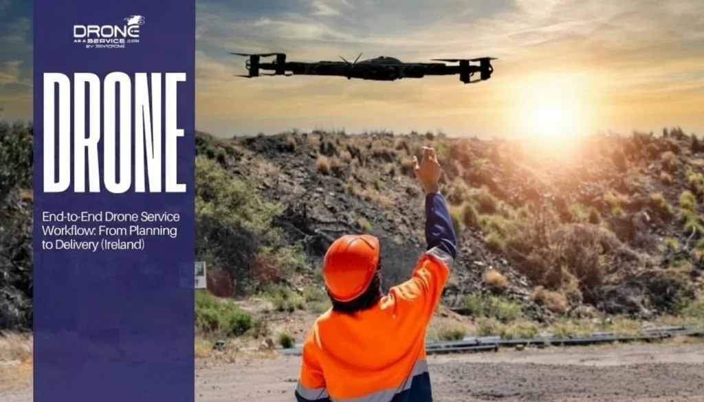
What are the Biggest Commercial Applications of Drone Technology Today?
The commercial availability of drone technology has seen tremendous success over the past few years. Thanks to its versatility and utility, many industries use drones to automate various processes and ensure worker safety.
Additionally, drones are becoming cheaper for commercial and recreational use. As the technology continues to improve, more businesses will see and invest in drones to ensure long-term growth.
In this article, we’ll look at the most significant commercial applications of drone technology. We’ll also look at the importance of aerial mapping in construction, precision agriculture, and other industries.
How Precision Agriculture with Drones is Changing Farming Around the World
Agriculture is one of the biggest industry markets for drones worldwide. With global populations still rising, farmers and agriculture providers constantly need to grow and manage crops as efficiently as possible.
Precision agriculture with drones enables farmers to meet this growing demand. Onboard sensors and analytics tools help farmers rotate crops strategically and reduce water, fertilizer, and pesticide consumption.
Here’s how drones enable precision agriculture:
- Planting. Drones can collect data on metrics like land elevation and plant health as well as assist in seeding and spraying
- Accurate Aerial Imaging. Since drones can fly closer to crops, they can deliver higher-resolution images in real-time
- Resource Distribution. Drones can track crop fertility and apply fertilizer, water, or pesticides to specific areas instead of the whole farm
- Sustainability Monitoring. Drones can provide accurate records of water and fertilizer consumption to reduce their environmental impact
- Pest Control. Precision agriculture with drones allows farmers to minimize crop failure by regular monitoring and spraying over multiple hectares in less time
How Drones Improve Safety in Mining Operations
Mining operations are complex and dangerous. Drones are a valuable asset to the mining industry for all mining operations. These extend to both surface and underground mining.
While drones don’t necessarily eliminate all types of danger, they can collect data in otherwise hazardous areas. They increase overall safety for miners and reduce various operational expenses as a result.
Currently, there are many commercial drone applications in mining, such as:
- Drilling and Blasting Assessment – Drones can collect data for generating 3D models for assessing areas for blasting and drilling.
- Mine Development and Exploration – Drones can explore tight spaces to perform surface mapping and ventilation modeling tasks.
- Volumetric Monitoring – Mining engineers can use drones to track stockpile variations, which ensures consistent and accurate volume reports.
- Monitoring and Planning – Mining drones are highly effective in conducting equipment inspections, monitoring areas for worksite security, and assessing their environmental impact.
- Identifying Hazards – Drones can help surveyors reduce risks like dust explosions, gas leaks, and chemical byproducts during mining operations.
Why Drone Technology is Crucial in Construction
Drone technology for infrastructure inspections is essential for site inspectors, architects, and foremen. Drones not only make construction cost-efficient but also much safer for construction workers.
Additionally, drones can provide real-time data to several users from a distance. They make communication and collaboration easier so projects can be completed on time and within budget.
Here’s how drones improve construction projects around the world:
- Photogrammetry – Construction drones are equipped with downward-facing sensors and RGB cameras to photograph features and buildings from different angles
- Site Analysis – The first step of any construction project is made much faster using drone-based surveying since it uses real-time data
- Asset Inventory – Drones’ surveying capabilities can also extend to tracking specific assets to complete inventory assessments, which is faster and less hazardous
- Planning and Design – Drone technology for infrastructure inspection can be used with surveying software for planning and designing buildings for every project phase
What are the Different Types of Integrations for Drones?
Drones have many uses in all kinds of industries, not just because of their hardware. Commercial drone applications in mining, construction, agriculture, and other sectors are also possible thanks to their software capabilities.
Software is what allows drones to collect data. Photogrammetry, object tracking, or LiDAR is also possible thanks to onboard or custom software for drones. Programs also convert high-resolution images into 2D or 3D digital assets.
Adding the right software and/or hardware helps users take full advantage of drones’ capabilities and transform their business. Here are the different types of integrations for drones:
1. Drone Control Apps
Drone control apps often use mobile devices to give drone operators better control over their drones.
They come with different features, from storing flight data to informing operators of local flight restrictions and requirements. Other apps also give data on wind, precipitation, and other weather factors like precipitation and cloud cover.
2. Safety Management Apps
The combination of software and hardware enables different commercial applications of drones in mining and other industries. Drones can also work with safety management software to ensure safety standards and improve overall efficiency.
Safety management software not only automates business forms. They also include features like geospatial mapping tools for tagging company assets.
3. Customizable Attachments
Drones aren’t limited to onboard hardware and sensors. Today, more models include customizable attachments for performing basic tasks.
For example, spraying and seeding attachments in agriculture help farmers automate these processes to cover more in less time. Attachments like robotic hands can also help move equipment or operate machinery.
Conclusion
Nearly all industries deploy drones for different purposes. For example, in the agriculture sector, precision agriculture with drones enables better use of limited resources while maximizing crop yields.
Drones are also used for surface and underground mining operations in the mining sector. In construction, drones are essential tools for speeding up surveying and mapping processes, giving real-time data to architects and project managers.
There is no better time to invest in drones or drone services than today. If you’re still looking to get started, book a demo with us – we’d love to hear from you!