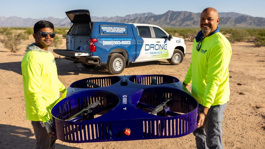
Drone as a Service provides business and government clients with transformative insights via AI-powered drone intelligence to optimize every land survey project.
THE NEW SURVEY STANDARD
Drone technology is the leading-edge method for surveying land for a wide range of uses. Drone surveys provide greater speed, data quality, safety, and scalability than traditional survey methods, all at a reduced cost. Quickly capture rich, centimeter-level data for deep insights about any terrain.
HOW DRONE SURVEYING WORKS
Drone surveys are conducted using several types of technology:
LiDAR
Light Detection and Ranging (LiDAR) uses lasers to capture millions of precise data points which are stored in a 3D point cloud. This data can be used to create data-rich terrain maps and various 3D models.
Multispectral Sensors
Multispectral sensors capture data across different light spectra, including wavelengths invisible to the human eye. This data helps analyze land cover, vegetation health, soil conditions, and environmental changes.
Photogrammetry
Photogrammetry
Photogrammetry uses high-resolution cameras to capture detailed video and images. Software stitches these photos into a single, accurate map of the survey area, creating an orthomosaic that shows true scale and detail.
Thermal Sensors
Thermal sensors capture heat signatures and temperature variations to reveal hidden patterns. This data can detect subsurface or structural issues, locate buried features, and support environmental monitoring.
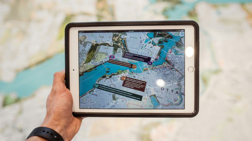
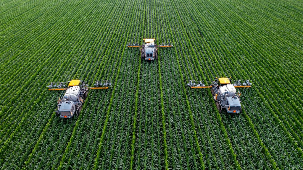
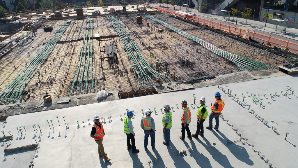
A FLEXIBLE SOLUTION ACROSS INDUSTRIES
With Drone as a Service, clients avoid the time-consuming and potentially hazardous methods associated with traditional surveying. We survey land, human-made features, and volumetrics for a range of industries, including:
Urban and regional planning
Agriculture and farming
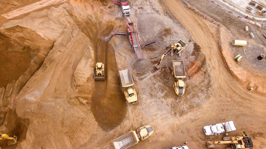
Earthworks and infrastructure
Construction
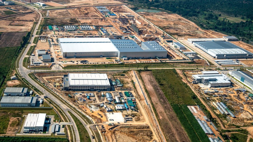
Industrial land
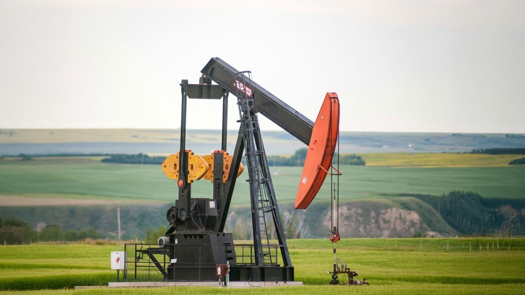
Oil and Gas
Mining
THE DRONE AS A SERVICE ADVANTAGE
Drone as a Service provides pay-as-you-go or subscription-based models, as well as licensed pilots using FAA-registered drones. Our drones are powered by AI and machine learning integration, and we offer end-to-end data management services. Clients typically receive comprehensive site data within 24-48 hours of surveying.
REQUEST A QUOTE
Please tell us about your project and we’ll get right back to you.
Drone as a Service delivers end-to-end drone solutions combining advanced hardware, smart software, and expert support to power data-driven decisions across industries.
Drone as a Service is a subsidiary of ZenaTech Inc., a Nasdaq-listed technology solutions company.