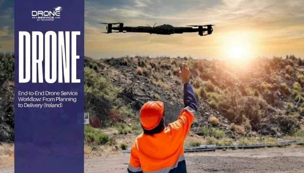
Drone as a Service provides business and government clients across Ireland with transformative solutions via AI-powered drone intelligence and payload delivery to optimise performance across all operations.
Discover a new perspective with data-rich aerial intelligence and innovative payload solutions.
0%
Faster data delivery than traditional, ground-based methods.
0+
Active global projects surveyed weekly across diverse industries.
0%
In project costs saved through reduced labour, time, and equipment usage.
0+
Clients served globally in agriculture, government, energy, construction, real estate, and more.
GET A SHARPER VIEW
See what Drone as a Service can achieve for your project.
THE DRONE AS A SERVICE ADVANTAGE
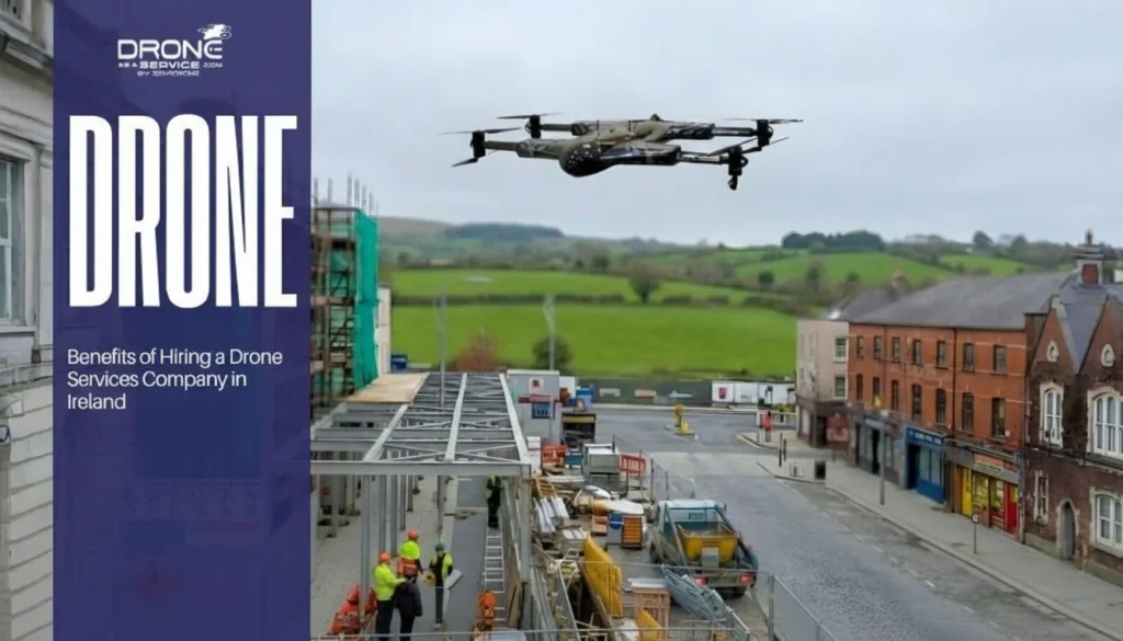
With Drone as a Service, clients avoid the capital costs of drone ownership and the inconvenience of hiring pilots and maintaining regulatory approvals. Every mission is flown by an Irish Aviation Authority (IAA)-certified pilot, using registered drones. Our pay-per-use and subscription models provide flexibility, and we offer end-to-end data management services.
SOLUTIONS FROM ABOVE
Precision Aerial Surveying
Our drones use LiDAR and photogrammetry for an ultra-precise analysis of any project, increasing efficiency and results.
Cost-Saving Speed
We reduce costs by 50% compared to traditional methods, producing detailed maps and models ready to use for analysis and planning.
Safer Inspections
Our drone services reduce risk by easily reaching hazardous or hard-to-access areas, while delivering data 60% faster than traditional methods.
Payload Delivery
From power washing to supply delivery to serving as an emergency communications relay, our drones do much more than provide data insights.
Monitor towers, antennas, cables and other infrastructure to plan expansion and repairs.
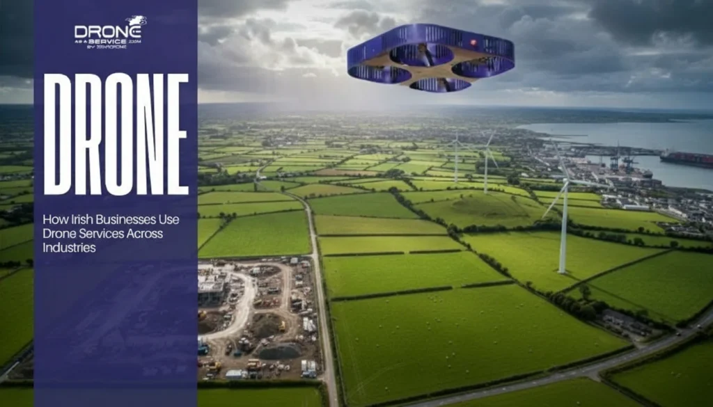
REIMAGINE YOUR FUTURE
Expand how your business collects and utilises data, and delivers payload—with precision, speed, and safety. When it comes to improving productivity and profitability, Drone as a Service ensures that the sky’s no limit.
Data + Payload
Capture high-accuracy, geospatial intelligence and deliver innovative payload solutions.
Scalable & Flexible
Whether it’s one site or 100, our drone fleet scales with your project across locations and timelines.
End-to-End Service
From mission planning to data processing, we manage it all—delivering actionable insights without slowing your workflow.
ENHANCED INSIGHTS
Stay informed on the latest innovations and news in drone technology.