The drone service process is the systematic manner of planning, performing, and delivering professional aerial projects.
The drone service process begins with project planning and regulatory preparation and continues through on-site operations until final delivery. Throughout the process, professional drone operations follow consistent safety procedures, compliance checks, and structured documentation.
In Ireland, planners have to plan these aerial projects around dynamic weather conditions, rural and urban areas, coastal conditions, and different airspace limitations.
What “End-to-End” Means in a Professional Drone Service
An end-to-end drone workflow describes the full drone project lifecycle from early planning to the final delivery of aerial data.
This workflow is often referred to as end-to-end drone service delivery, where providers handle planning, compliance, flight operations, data processing, and reporting through managed drone services in Ireland.
Professional drone operations differ significantly from hobbyist activity. Hobbyist flying usually focuses on taking photographs or video footage. Pre-project planning is the stage where the goals and safety requirements of the drone service process are clearly defined.
The distinction is procedural rather than technical. In Ireland, this structured drone project lifecycle reduces uncertainty across diverse sites such as farmland, city centres, ports, and industrial estates. Managing the complete workflow ensures that the final output aligns with the agreed scope.

Pre-Project Planning: Defining the Job Before Any Flight
Pre-project planning is where the goals and safety requirements of the drone service process are clearly defined. Planning begins by identifying the client’s objectives and how the aerial data will be used.
Defining Objectives and Requirements
The first step is to understand the client’s needs, which will determine how the data will be processed. The goal is to confirm that the project can proceed safely within the broader drone compliance process.
Evaluating the Site and Risk
The site is then assessed to confirm feasibility. This review considers location type, surrounding activity, access, and environmental exposure.
A preliminary drone risk assessment forms part of this evaluation. In Ireland, weather conditions and proximity to controlled airspace are key factors when determining whether the project can proceed safely within the broader drone compliance process.
Confirming Scheduling and Operational Constraints
Scheduling begins after feasibility confirmation has been completed. The timing of the project will be impacted by Irish weather conditions, daylight variations, and site access. The project requires coordination with site managers and landowners to establish appropriate timing.
Regulatory and Operational Preparation in the Irish Context
Regulatory and operational preparation ensures that the drone service process follows Irish aviation rules and site safety procedures before any flight takes place.
In Ireland, airspace conditions vary between rural areas, city centres, and locations near airports or ports, so controlled zones require careful review.
The drone compliance process includes reviewing airspace classification, confirming the operational category, preparing necessary documentation, and addressing any required notifications or permissions. These checks are completed before scheduling is finalised, preventing delays.
A formal drone risk assessment is also conducted to identify hazards such as public access, nearby infrastructure, or environmental exposure.
Operational limitations and safety measures are defined in advance to align with site safety procedures and reduce disruption.
Scheduling and Feasibility: Weather, Access, and Site Realities
Scheduling and feasibility determine when a drone project can safely and effectively take place. In Ireland, these factors are influenced by weather, daylight, site access, and location, all of which affect planning and timing.
Weather, Daylight, and Environmental Factors
One of the primary considerations is the weather. Farms, construction sites, and infrastructure corridors may require limited access windows or coordination with other personnel.
Operational windows are also influenced by seasonal variation in daylight, especially during winter.
Site Access and Location Constraints
Another vital aspect is site access. Farms, construction sites, and infrastructure corridors might have to induce limited access time or liaise with other staff.
Urban sites often have additional constraints related to traffic, pedestrians, and surrounding buildings.
Professional drone services Ireland typically include contingency planning so operations can adapt to weather conditions or access limitations.
Doing so makes it possible to reschedule flights without jeopardizing the safety, compliance, and project goals.
By acknowledging these factors upfront, clients can set realistic expectations for when and how drone projects will be executed in Ireland.
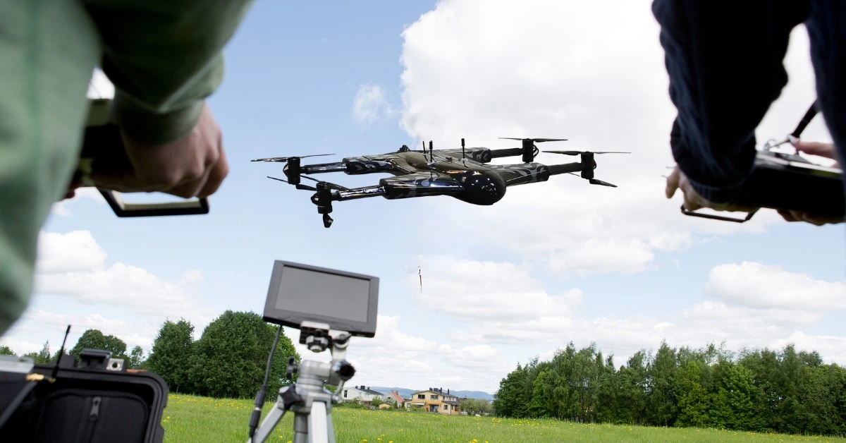
On-Site Operations: What Happens on the Day of the Flight
The drone service process during the day of the flight is based on a safe, coordinated, and organized on-site operation.
Clients can expect a professional approach where access, timing, and operational boundaries are established before flight takeoff.
Coordination with site personnel is essential to ensure minimal disruption to ongoing activities. Restricted areas, timing of flight, and temporary safety measures are well communicated by the operators.
Safety is maintained through controlled operational zones and strict adherence to drone safety standards, protecting personnel, equipment, and the public.
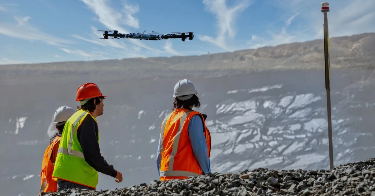
Site Risk Management and Workflow Execution
The organization uses site risk management across operations. Wind conditions, nearby obstacles, and surrounding activity are monitored to pause operations if safety limits are exceeded.
The pre-existing plan establishes a drone inspection workflow that includes a drone site survey application. The team verifies flight paths and coverage checkpoints to ensure proper execution of aerial data collection activities.

Data Capture: What Is Collected and Why Standards Matter
During professional drone operations, data capture focuses on collecting high-quality aerial information that meets the project’s objectives.
The aim is to collect imagery, maps, and inspection photographs suitable for analysis, monitoring, or reporting.
Types of Data Collected
The purpose of the project dictates the data obtained:
- •Imagery: Inspections, progress or condition of a house in high-resolution photos.
- •Maps and site plans: Accurate visual references used for planning, monitoring, or surveying.
- •Inspection photography: Detailed images for evaluating structures, assets, or infrastructure.
Why Standards Matter
The delivery stage provides processed drone data to clients in formats that are easy to access and use. Regular processes and coverage ensure that the output is in compliance with the requirements of the project.
The quality check at the data capture stage ensures that imagery and maps are fully developed and can be used before post-flight data handling.
Post-Flight Processing and Validation
Post-flight processing and validation checks ensure the collected data is accurate, complete, and ready for practical use.
This step transforms raw images together with maps and inspection photos into dependable products used for reporting and monitoring activities and decision-making processes.
Data Review and Quality Checks
Gathered data is checked in terms of completeness and accuracy; any loopholes, mistakes, or discrepancies are spotted and resolved until the finalisation of deliverables.
Doing so ensures that the outputs meet the project’s objectives and client expectations.
Error Handling and Validation
In case any problems have been detected, e.g., incomplete coverage or unclear imagery, corrections are made, or re-capture is planned. This step ensures that all outputs are reliable and actionable.
Secure Data Management
Throughout processing, data security in drone operations is maintained. All client information and site data are stored, transferred, and handled securely, and controlled access is ensured to ensure that the information is not misused or lost.
Delivery: Outputs, Formats, and Communication
The stage of delivery involves the delivery of processed and gathered drone data to a client in a format that can be used and accessed.
The operations of professional drones provide clarity and completeness of outputs and fit the mission of the project.
Typical Deliverables and Formats
Clients can expect deliverables such as:
- •High-resolution imagery for inspections or visual review
- •Site maps and orthomosaic images for planning or monitoring
- •3D models or point clouds for volumetric analysis or construction tracking
- •Detailed inspection reports with annotated photographs
Standardised procedures keep each drone project organised and consistent from start to finish.
Timelines and Professional Communication
Deliverables are shared according to the agreed schedule, with updates on progress communicated throughout the project. Clients are informed of any delays, additional captures, or clarifications needed.

Workflow Variations by Use Case (High-Level)
The drone service process can be customized to other projects without losing its structure, starting with the planning and up to the delivery process.
The key steps are the pre-project planning, regulatory preparation, on-site operations, data capture, post-flight handling, and delivery.
Construction Projects
Drones are applied in construction for site surveys, progress, and volumetric measurements. The workflow guarantees that all the data flows are taken, processed, and provided to support the planning and reporting requirements.
Agriculture Projects
In agriculture, aerial data is used to monitor crops, map fields, and assess crop health. Flights are planned to cover the relevant areas while ensuring the data is accurate and repeatable.
Inspection Projects
Drones use aerial photography to document site conditions, which inspectors need to assess infrastructure requirements.
The workflow follows the same stages to ensure reliable and actionable outputs. The organization maintains project execution through standardized workflow processes, which deliver consistent results across all projects while allowing teams to adjust their work according to specific project needs.
Common Workflow Bottlenecks in Ireland
Professional drone operations in Ireland can encounter several common drone workflow bottlenecks that impact efficiency and data quality.
Businesses commissioning a drone project should understand the full drone service process, including planning, expectations, and operational scope.
Weather and Environmental Conditions
In Ireland, the weather can be unpredictable. Wind, rain, low clouds, and coastline exposure hamper flights; winter daylight variance limits operating hours. Professional operators adjust schedules to meet changes.
Site Access and Logistics
Site access restrictions may delay operations. Landowners, site managers, and contractors may need to coordinate with farms, building sites, and infrastructural corridors. Communication and pre-project preparation reduce delays.
Airspace Restrictions
Flights near controlled zones, airports, or dense urban areas often require advance approval. Operators conduct airspace checks and incorporate regulatory requirements into the workflow to avoid disruptions.
Data and Client Expectations
The clients can insist on specific coverage, type of imagery, or details of inspection that might lead to delays in project completion.
Clear communication of expectations and review of deliverables before the project helps avoid misunderstanding and instances of repeat flights.
What Businesses Should Understand Before Commissioning a Drone Project
Firms intending to employ a drone venture should be aware of the whole procedure, planning, expectations, and scope of operations. The comprehensive introduction of the site information, purposes, and access data can empower the professional operators to plan and respond to risks.
The clients also need to know that the deliverables, formats, and timelines are predetermined, yet the weather in Ireland, airspace, and site conditions may change.
To keep the operations safe and within control, professional operators make sure that they comply, perform site risk assessments, and adhere to drone safety standards.
Ensuring Transparency and Predictability
Clients facilitate an open work process by providing all the project information, setting expectations, and not breaking operational boundaries.
The strategy enables operators to demonstrate their progress, act upon possible delays, and provide a high-quality data service and aerial information that is reliable.
Enhancement of transparency in the process results in trust and predictability in all professional drone activities in Ireland.
Conclusion
Professional drone operations in Ireland follow a structured workflow from initial planning to final delivery. All phases, such as pre-project planning, regulatory preparation, on-site operations, data capture, post-flight processing, and delivery, are clarified, accurate, and compliant.
The process considers the Irish-specific factors, which include irregular weather, access to the site, airspace in cities and towns, and daylight restrictions. Professional operators handle these issues to ensure safety, risk containment, and reliable data.
Businesses commissioning drone services should understand the workflow, define clear objectives, and provide accurate site information.
Following a transparent and structured process ensures reliable outputs, efficient operations, and professional management of drone projects throughout Ireland.
Frequently Asked Questions
Plan Your Drone Project With Certified Operators in Ireland
Work with professional drone teams who manage the full workflow from planning and compliance to data capture and final delivery.