Real-time situational awareness and insightful data for emergency services, search and rescue, disaster response, environmental monitoring, and other agencies.
Aerial intelligence provides a critical perspective on what’s happening below to protect life, reduce risk, and decrease liability. Drone as a Service provides leading-edge, AI-powered drones and secure data management services, ensuring that every operation has the situational awareness and comprehensive dataset to achieve successful outcomes.
DATA-RICH TECHNOLOGY
Our drone technology includes 4K cameras, multispectral sensors, LiDAR, and thermal and radar scanners, providing clients with a rich dataset.
Real time, high-resolution video
High-resolution photographs and geo-tagged, orthomosaic maps
Heat-finding capability and temperature analysis
Multispectral analysis, including infrared
Light Ranging and Detection (LiDAR) to create 3D point clouds for mapping and modeling
Radar imaging
WHO WE SERVE
Drone as a Service provides real-time situational awareness and centimeter-level accuracy to government services, including:
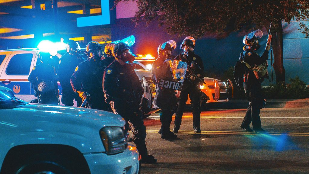
Law enforcement
Surveil, monitor crowds, support tactical operations, and document large crime scenes.
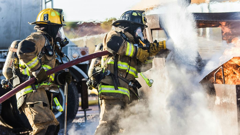
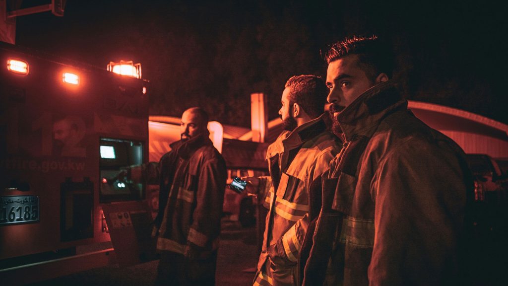
Fire departments
Assess active fires and monitor response routes.
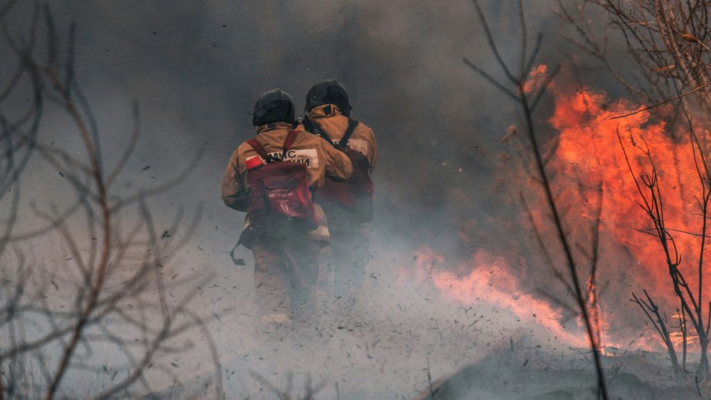
Wildfire teams
Map fires, provide critical situational awareness, and deliver supplies.
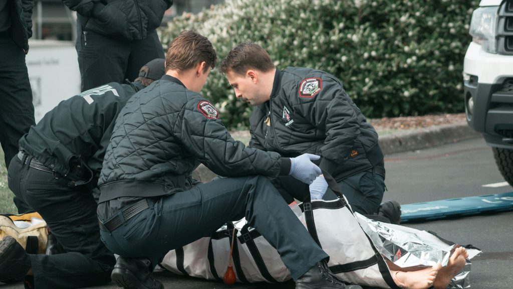
Paramedic services
Assess crash sites and monitor response routes.
Search and rescue teams
Locate and assess missing persons, and deliver supplies to hard-to-reach areas.
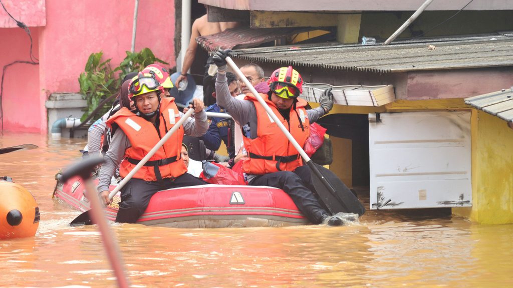
Disaster response teams
Quickly assess damage, deliver supplies, and set up temporary communications.
Park services
Map terrain, monitor wildlife, and assess environmental and human-use conditions.
SAVE TIME, MONEY—AND LIVES
Drones are easily deployed and can access any kind of terrain. Our fleet’s Vertical Take-Off and Landing (VTOL) capabilities enable them to safely navigate, hover, take-off, and land in restricted urban spaces. With Drone as a Service, you avoid the high cost of helicopter surveillance and supply delivery, as well as having to put personnel in harm’s way to successfully execute operations.